|
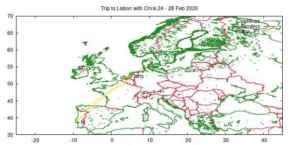
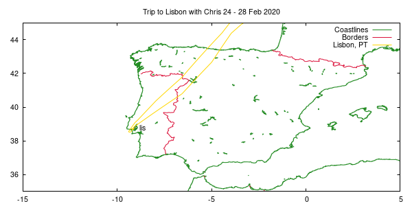
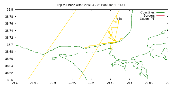
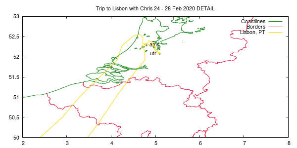
set tit "Trip to Lisbon with Chris 24 - 28 Feb 2020"
set label "utr +" at    5.120324 , 52.08137 right   # Utrecht, The Netherlands
set label "+ ams" at    4.763385 , 52.30907         # Amsterdam, The Netherlands
set label "+ lis" at   -9.134167 , 38.774167        # Lisbon, Portugal
set key

set xrange [-25:45]
set yrange [35:70]

# NOTE: Used the wvs data files here, because the CIA World Facts database version 3 is inaccurate around Lisbon. This is the first time I noticed this.
plot 'wvs-earth-ne.dat' t "Coastlines" w l ls 2, 'wvs-earth-ne-pol.dat' t "Borders" w l ls 1, \
     '2020-pt-01.dat' t "Lisbon, PT" w l ls 4
|


